Construction using drones
UAVs are currently very convenient for photographing the progress of construction of various objects from the air. They are widely used when conducting volumetric surveys of construction sites or cottages, with adjacent land plots, to study the territory or the process of building an object.
Such work is convenient to perform with the help of special radio-controlled models. Panoramic drone photography provides more detailed information than ground-based photography. With such a survey, not only the layout of construction sites is visible, but also the adjacent territories and roads.
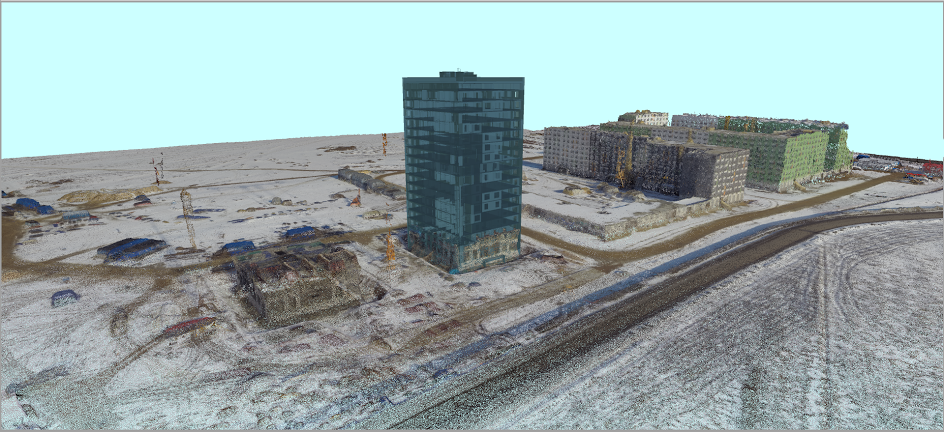
On the basis of modern technical developments, today it is possible to carry out not only monitoring, but also control over the progress of construction of various objects using unmanned survey materials, to create high-quality photographic plans.
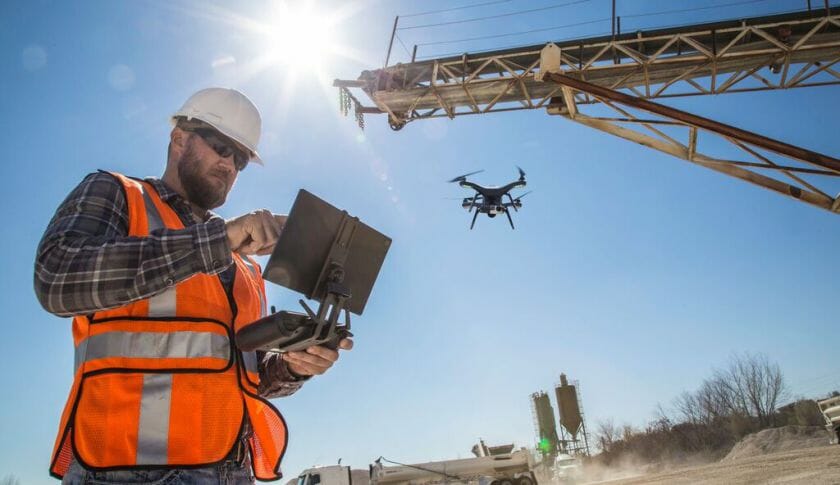
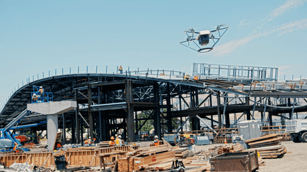
Monitoring the progress of construction of objects by means of drones (it is possible to regularly hover at the specified GPS coordinates and a given height)
Aerial photography, carried out from a quadcopter, allows you to track the stages of building construction, laying the necessary communications and landscaping the adjacent territory. The obtained photographs can be used to monitor and control the progress of construction projects. In this regard, such a drone function as hovering at the previously set GPS coordinates and the desired altitude will be very useful.
Drones and software
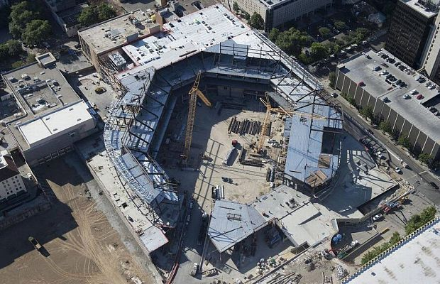
It is also worth highlighting the survey for production and industrial companies. From a height, you can evaluate the object as a whole, informatively show with one photograph all the shops and warehouses, road interconnections that provide convenient access for vehicles. Then the images taken with the drone can be processed using special computer graphics programs and get magnificent panoramas. Thus, to achieve not only the efficiency and informational content of photography, but also the most important thing is to show the object from a very advantageous side.
The advantages of monitoring technology based on unmanned survey materials are as follows:
- Global coverage of the surveyed territory (site of the object)
- Continuous high detail of images of objects using unmanned shooting
- Obtaining images of the surveyed objects, ensuring their mapping at a scale of 1: 2000
- Independence of work from the state of cloudiness
- Lower cost of drones compared to manned aircraft
- High information content and reliability of decryption results.
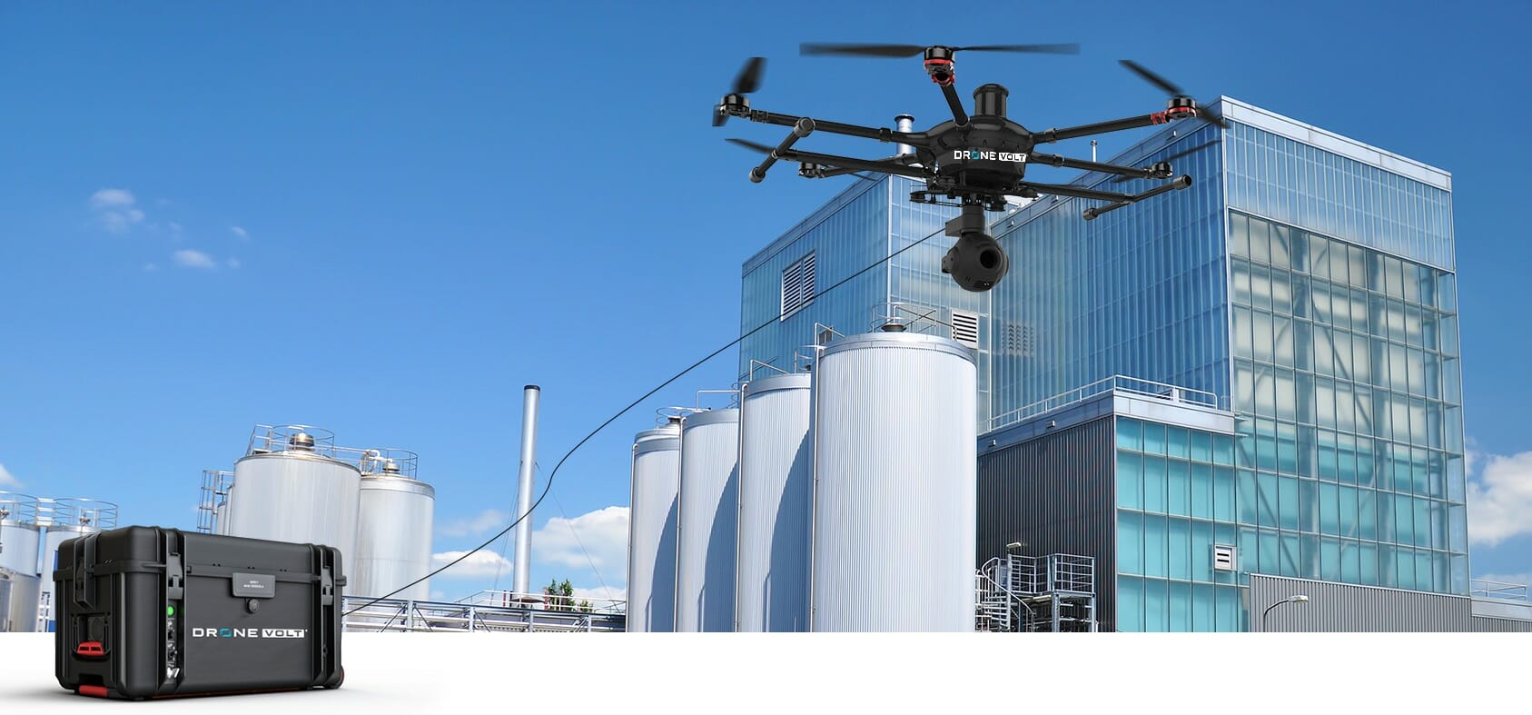
* Tethered drone - Z18 UF from Drone Volt (24 hours in the air).
Control of production work at construction and reconstruction facilities based on unmanned survey materials is carried out by periodic planned and perspective shooting of objects using quadcopters and comparison of images at different times. When using stereoscopic materials, it is possible to metric estimate the volume of work performed (depth of trenches, volume of displaced soil, volume of delivered bulk materials, etc.).
Thus, the creation and practical application of technical technologies and new products for unmanned monitoring of objects and territories contributes to the exchange of experience between manufacturing firms, as well as the discussion of further development prospects and needs in the field use and improvement of unmanned robots. The technologies created and the experience of using drones for solving practical problems of objects and surrounding territories have already shown that the future of construction monitoring remains with unmanned aerial vehicles.
You can familiarize yourself with the catalog of professional UAVs here
.


