Introduction
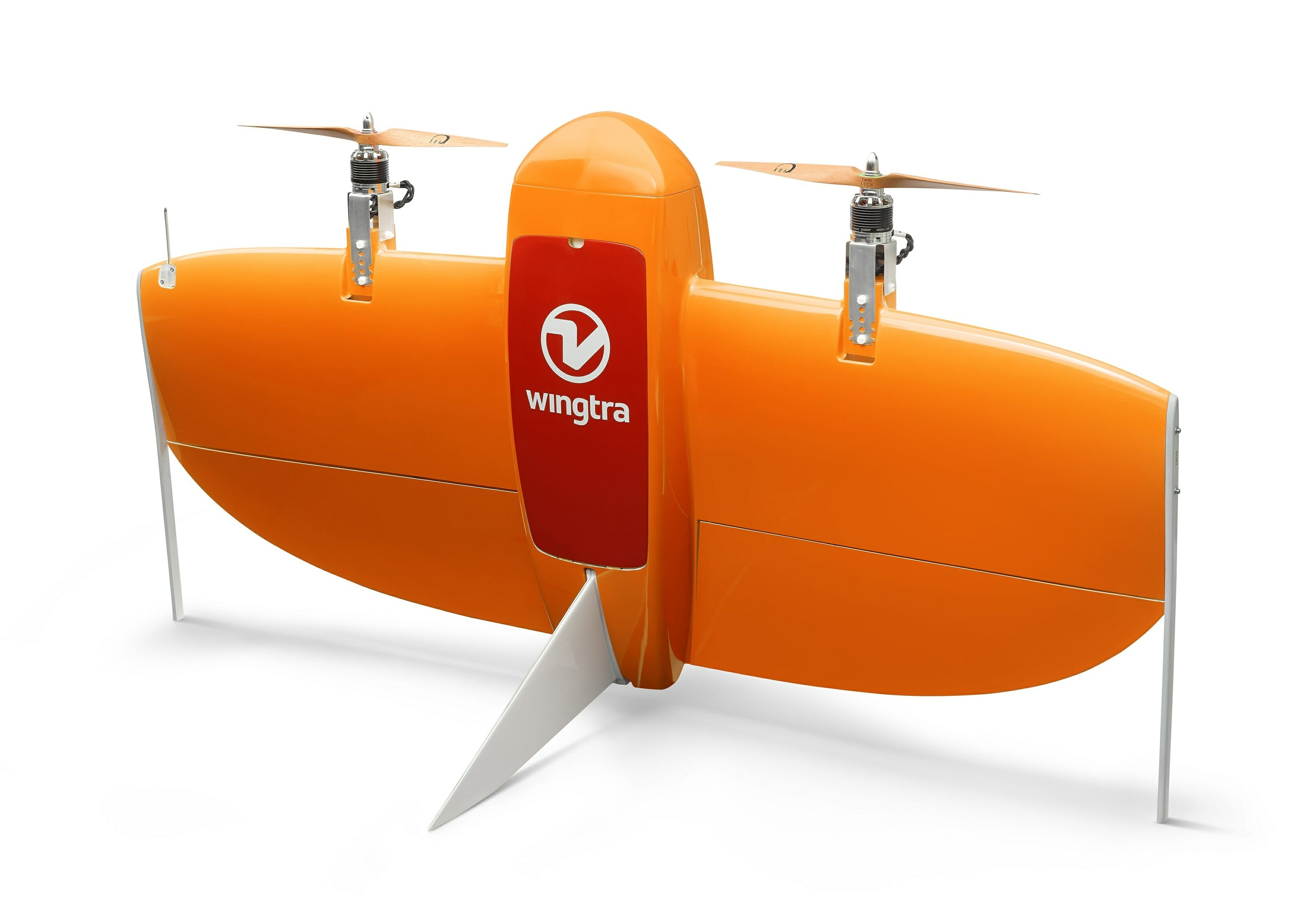
WingtraOne PPK drone*known in world of the Swiss UAV manufacturer - Wingtra, has set a new level in large-scale geodetic and cartographic fields of activity. With the support of industry partners - photogrammetry software provider Pix4D and GNSS boards from Septentrio - the WingtraOne PPK drone is capable of transmitting orthomosaics and 3D models with precision up to 1cm.
*PPK - Post-Processed Kinematics - " kinematics in post-processing".
About us
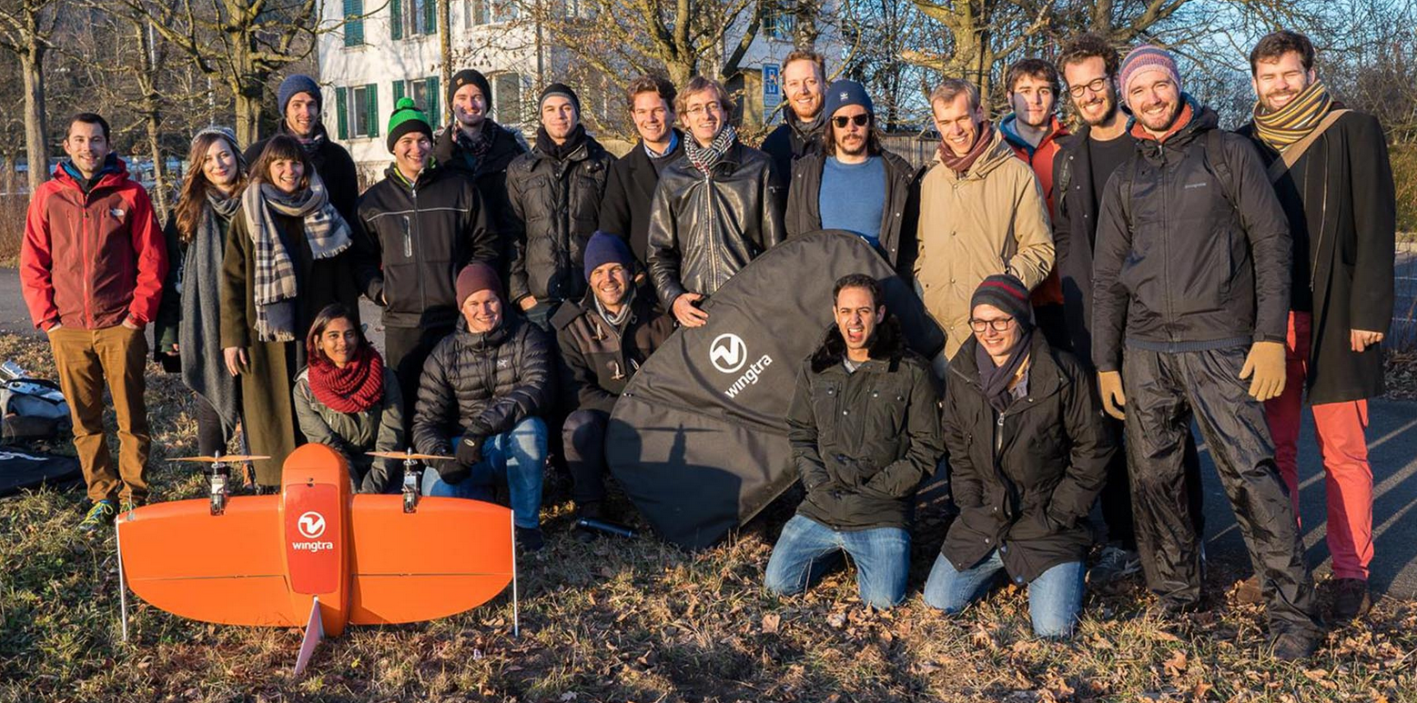
Wingtra develops, manufactures and markets high-precision unmanned aerial vehicles VTOL for data collection through aerial photography. Wingtra entered the global market in early 2017 and has since been marketed all over the world. The company recently partnered with RDO Integrated Controls (a leading survey equipment dealer) to raise an additional $ 5.8M to meet demand in 2018.
“With the latest update, the WingtraOne PPK drone can offer something that has not been seen in unmanned photogrammetry until now - wide coverage and high resolution precision precision. For example, in one hour of flight, WingtraOne will be able to cover 130 hectares, which is 240 football fields, presenting maps at a GSD*of less than 1 cm / pix with an absolute accuracy of up to 1 cm, ”explained Wingtra's technical director - Armin Ambühl.
*In the English-language literature GSD - ground sample distance or “pixel size on the ground”
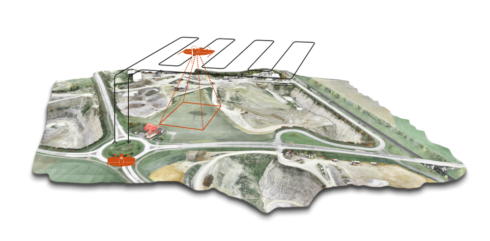
These The results are new to the industry - until now, no professional UAV has been able to offer such precision. Previously, only two types of drones prevailed in the world of cartography: fixed wings and multi-engine or multi-rotor aircraft. Fixed-wing drones can cover large areas, but cannot transmit highly accurate data. Multi-rotors can provide precision accuracy, but they are only capable of covering small areas.
“VTOL (vertical take-off and landing) based on a fixed wing drone combined the two types of drones, thus improving the quality of control and extending the flight time interval,” added Armin Ambühl.
PPK
RTK (real-time kinematics) or PPK (post-processed kinematics). RTK requires real-time connection to a base station and corrects GPS signals during flight, while PPK corrects them after flight and therefore provides greater reliability and consistency. In addition, PPK is independent of base stations or base station networks, has high reliability, accuracy and convenience and time savings. Acquiring accurate aerial photographs up to 1cm does not require special flight preparation and intensive post-processing steps.
PPK (Post-Processed Kinematics) technology allows WingtraOne to achieve a new level of precision. PPK calculates ultra-precise geolocations for each image by combining GNSS data with correction data from the nearest reference receiver.
Pix4D
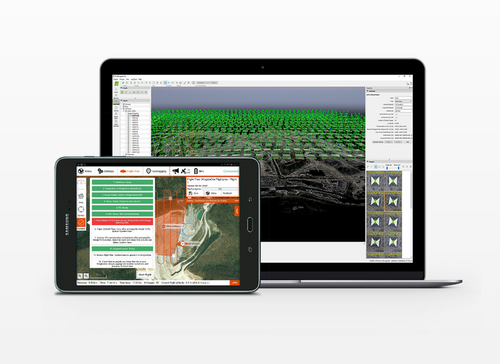
After collecting aerial data, Pix4D post-processing software works as a powerful tool for creating orthophoto and 3D models from geotagged images... Armin Ambühl notes that “after processing the data, the results become visual - orthomosaics and 3D models are exponentially detailed and allow accurate calculations”
Load capacity
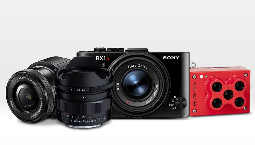
WingtraOne's high payload enables the integration of the highest level payload on board the drone: the Sony RX1RII and the state-of-the-art Septentrio PPK system. “An RMS of 1.3cm horizontally and 2.3cm vertically, with no ground control points, is a significant leap forward in effective aerial photography, saving time in the field,” Ambühl says. "We are thrilled to offer such a high resolution, high precision WingtraOne system for the demanding surveying industry."

Future
The Wingtra team expects the WingtraOne PPK to become the most sought-after drone for surveying and mapping applications. Maximilian Boosfeld, COO of Wingtra, added: “Our unique VTOL technology has already proven itself: cadastral surveys of the largest uranium mine in Africa and digital modeling of the Alpine Heights have helped us create a solid market base in this area. By combining the capabilities of VTOL and PPK, we got an advantage over existing solutions in aerial photography. I believe that in the near future, WingtraOne will completely replace fixed wing drones in large-scale mapping missions as we have just set a new industry standard in unmanned photogrammetry. "
Specification
Start of Sales
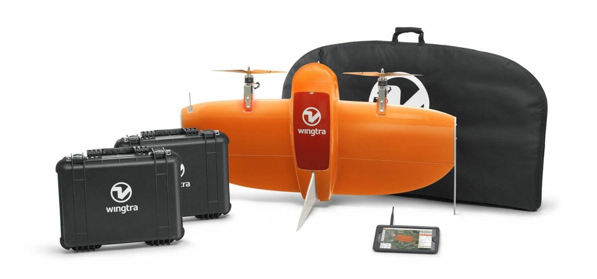
WingtraOne PPK is already available directly through Wingtra and their global distribution network.
.


