Application
The use of UAVs in the forestry industry is extremely important nowadays. According to international and domestic experts, over the next 5 years, forestry will become one of the most significant operators and consumers of aviation unmanned systems in the civilian sector in the country.
One of the most important advantages of drones is the function of installing various sensors in hard-to-reach places. Including the installation of fire sensors, seismic sensors, as well as radar reflectors for object detection.
Tests on the installation of sensors in hard-to-reach places are being carried out in order to determine the prospects for an aviation platform to study and expand the scope of tasks that can be solved in forestry using unmanned robots.
Now the mass production of quadrocopters is being established that are closest to the required technical characteristics, as well as stable in operation and ease of control. Some unique features of these drones should be noted.
For example, the ability to track moving objects by a drone and track them automatically using special beacons. The technical and software potential programmed in such robots allows the integration of the received data into a single information system based on the existing remote monitoring system.
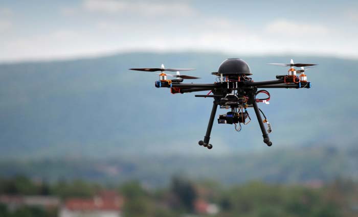
The important advantages of the UAV include the presence of various target quick-change loads, the use of a waterproof camera with a 360-degree viewing angle, the possibility of implementing various control methods, forming its own information system for through the use of additional means installed on mobile objects, the use of several types of data transmission.
Drones are planned to be used, first of all, to provide adequate and reliable information support for ground fire services when extinguishing large foci of forest fires, as well as for constant monitoring of local forest areas in order to detect fires.
The practical application of UAVs will be in monitoring active peat fires using infrared and optical channels, inspection and photography of the state of burnt areas, operational inspection of forest areas in order to analyze the information received.
Specificity of launching and landing
The mass of the multicopter is about 4.2 kg. The flight altitude can range from 50 meters to 4 kilometers. The radius of stable contact with the ground control station is approximately 25 kilometers.
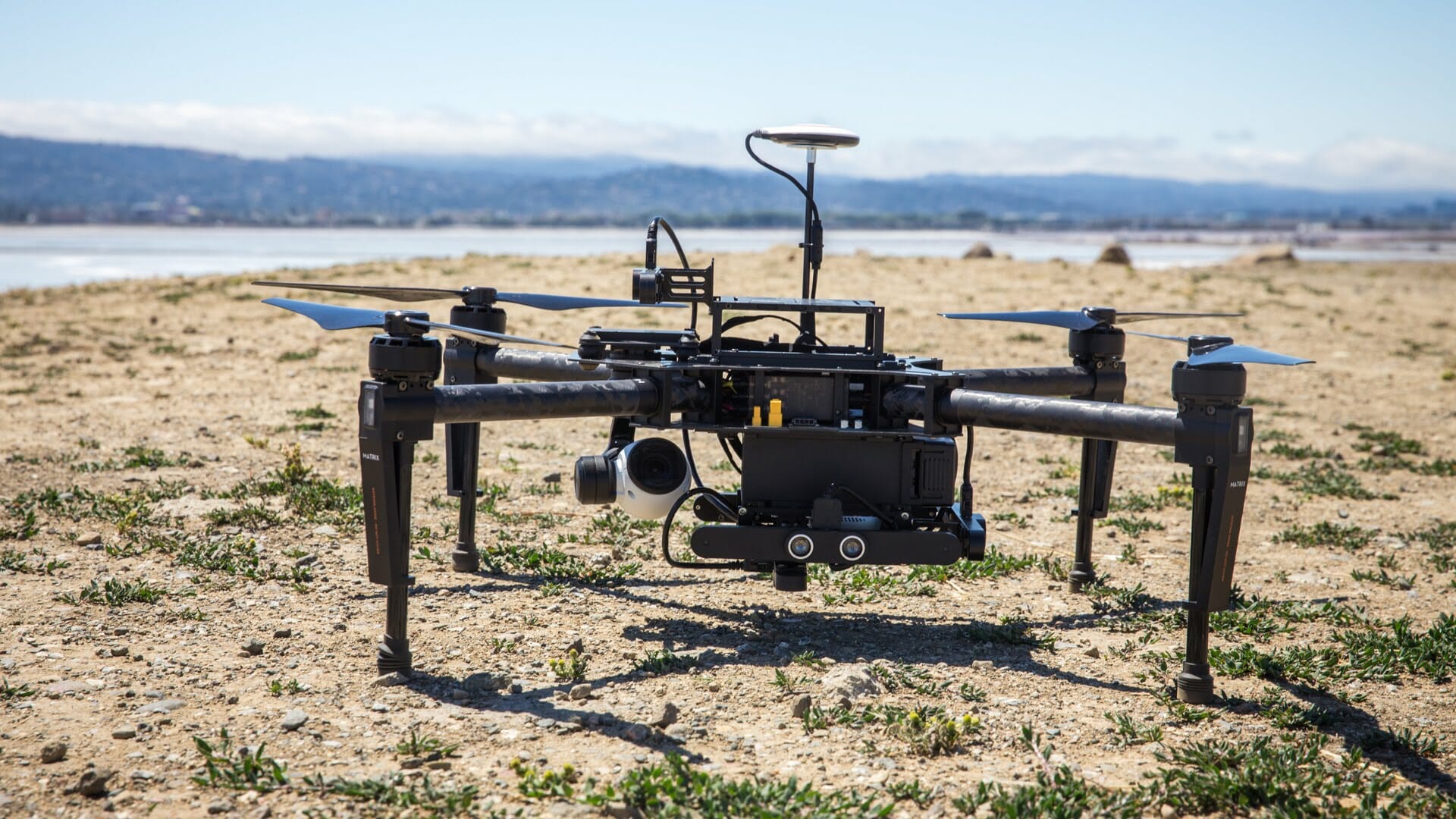
In the event of a loss of ground-controlled radio contact, the smart drone will automatically return to the launch pad and land. The ground control unit is equipped with an antenna with an automatic tracking system that monitors the location of the unmanned robot.
In addition, a camera is installed on each aircraft, which allows obtaining high-quality photographs, which can later be used for operational topography and the formation of an evidence base during the investigation in situations contrary to the law.
You can familiarize yourself with the catalog of professional UAVs here
.


