Drones as a tool
Drones (multicopters)
Professional UAVs are an effective means of ensuring the proper and safe operation of road and rail infrastructure facilities. With the use of such technologies, the following tasks are being solved today:
- Information support for construction and reconstruction of objects and bridges
- Inspection and documentation of the state of gas pipelines, their interaction with the environment
- Monitoring of facilities and territories with increased load
- Creation of various cartographic materials for the construction and operation of road and rail infrastructure facilities.
In order to solve the above problems, the following basic technologies are used: study of the linear part of highways and bridges based on unmanned survey materials, mapping of capital repairs, reconstruction and construction facilities using data unmanned survey, inspection of the condition along the route power lines using unmanned vehicles.
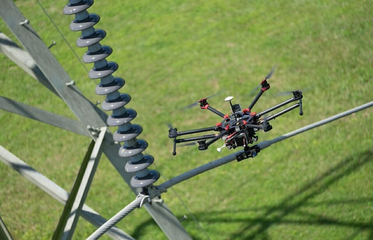
Unmanned patrolling of structures
Aviation unmanned patrolling of bridges and main road sections consists in monitoring the condition of routes based on viewing materials obtained using a video camera, digital camera or thermal imager mounted on a quadcopter.
During unmanned patrols of bridges and highways, the following tasks are solved:
- Identification of sections of the route that are not designed and / or have lost their stability
- Search and detection based on materials aerial survey of damages, backfilling of individual areas
- Collection and systematization of information on the state of security zones.
Construction of bridges
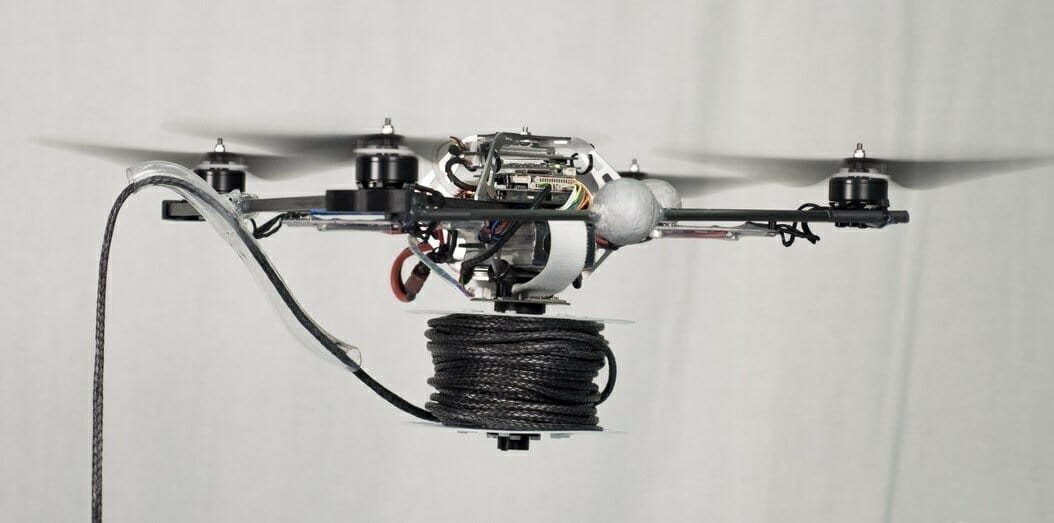
Productivity of work on unmanned aerial photography - up to 200 km per day. In addition, drones can be used not only for surveying the area, but also for building bridges. In particular, during the construction of bridges, they can be used to pull the first rope guides through ravines or rivers, along which powerful bridge cables will subsequently go.
The use of drone footage in the construction of bridges helps to solve such problems as:
- Conduct an operational assessment of the current state of the territory and the objects and infrastructure located on it based on the factual digital material of an unmanned robot, digital maps and models
- Conduct a comparative analysis of changes in the territory and landscape components (vegetation, plowing, forest cover, etc.)
- Regional zoning based on modern photographic data from UAVs and satellite images
- Modeling forecast situations and developing recommendations for decision-making in the field of reducing or overcoming the manifestation of dangerous natural and anthropogenic phenomena and processes.
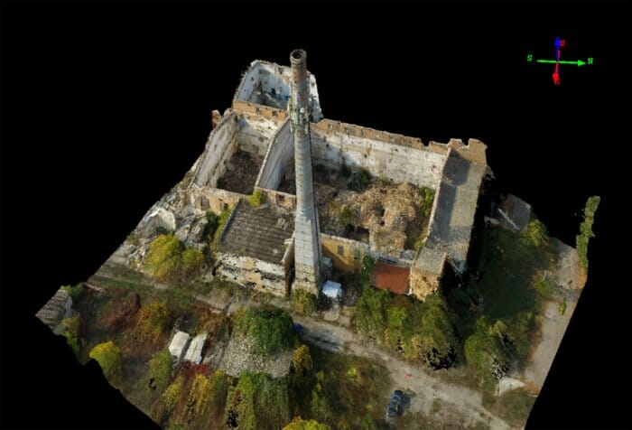
Cartography
The drone's output is topographic maps of objects and territories on a scale from 1: 200000 to 1: 2000. To update and clarify plans and maps of scales from 1: 200000 to 1: 2000, previously published cartographic materials and actual data of unmanned survey for the current or specified date and time period are used.
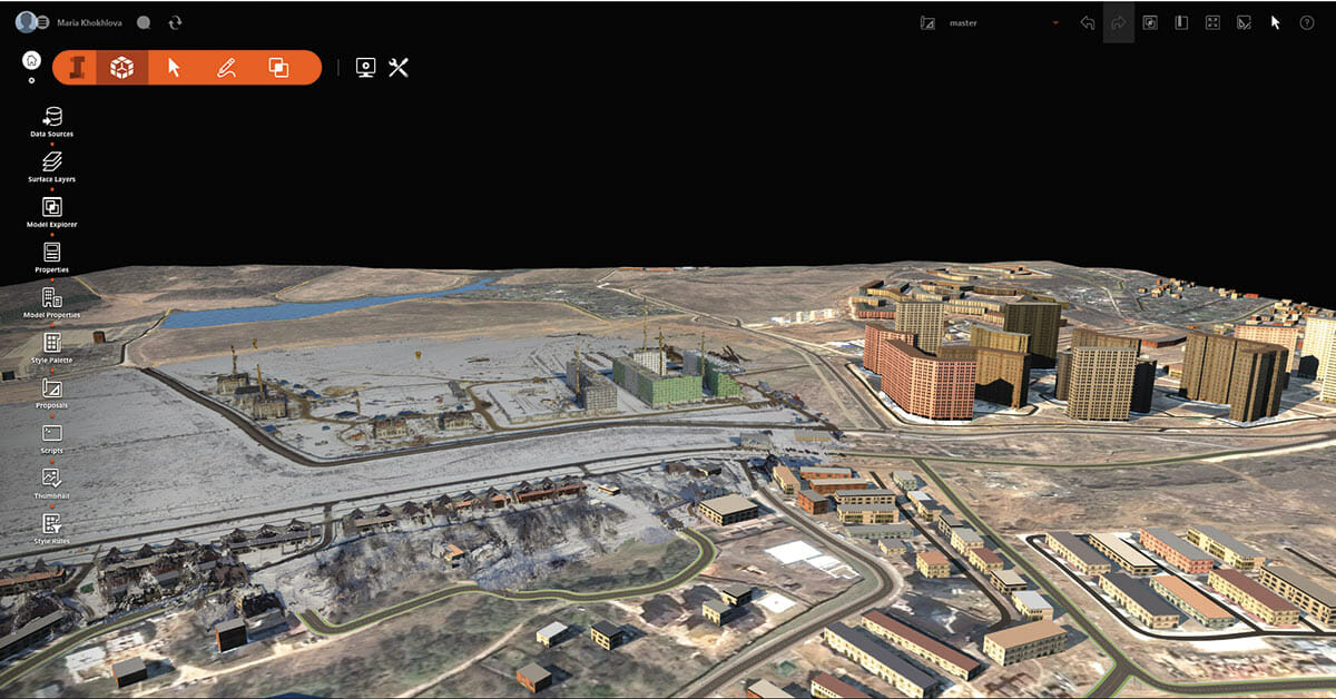
Based on the analysis of cartographic materials and actual data of unmanned survey, changes and additions are made to topographic maps. To create plans of objects and territories, as well as thematic maps based on unmanned survey materials, almost all primary and secondary data are used.
You can familiarize yourself with the catalog of professional UAVs here
.


